


This story originally appeared on Porch.
The COVID-19 pandemic has punctuated an otherwise steady trend towards increased urbanization in the U.S. that began over two centuries ago. While urban areas account for just over 3% of American land, they are home to more than 80% of the population. The U.S. urban population has increased rapidly since the late 1800s and overtook the rural population over a century ago. However, this pattern may not hold in the coming years. With the rise in working from home seen during the pandemic, many city-dwellers are rethinking their locations and moving to more affordable (and less crowded) parts of the country.
While the share of U.S. soil marked by urban landscapes represents just a small fraction of total land area, urban land use has grown substantially since 1945 when it accounted for only two-thirds of a percent. As of 2012, the amount of land covered by urban areas had grown to nearly 70 million acres, representing 3.1% of total land area. However, urban land use and urban growth are not distributed evenly throughout the country.
To find the most urbanized states, researchers at Porch analyzed the latest data from FiveThirtyEight, the U.S. Department of Agriculture, and the U.S. Census Bureau. The researchers ranked states according to FiveThirtyEight’s urbanization index. The index calculation is based on the average number of people living within a small radius of each census tract; a weighted average is then calculated to create a state-level index. This method of calculation better reflects population clustering, giving it an advantage over a simple population density or urban land use measure. Researchers also included the urban land area percentage of total, the population density, and the total population.
Keep reading to see the most urbanized states in the U.S.
15. Washington
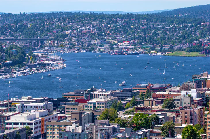
- Urbanization index: 11.12
- Urban land area percentage of total: 3.7%
- Population density (per square mile): 114.6
- Population: 7,614,893
14. Colorado
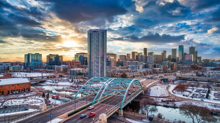
- Urbanization index: 11.15
- Urban land area percentage of total: 1.5%
- Population density (per square mile): 55.6
- Population: 5,758,736
13. Pennsylvania
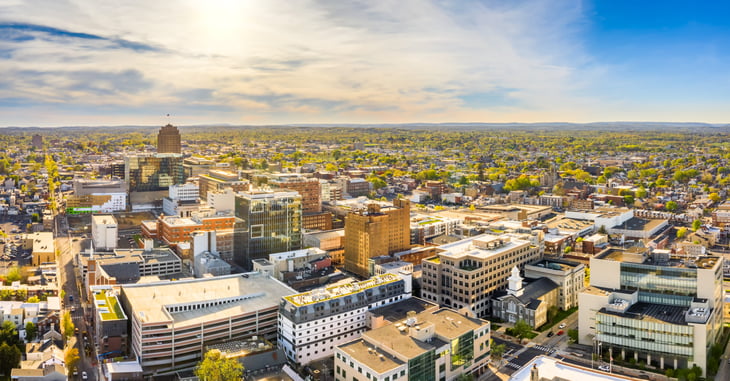
- Urbanization index: 11.15
- Urban land area percentage of total: 10.7%
- Population density (per square mile): 286.1
- Population: 12,801,989
12. Texas
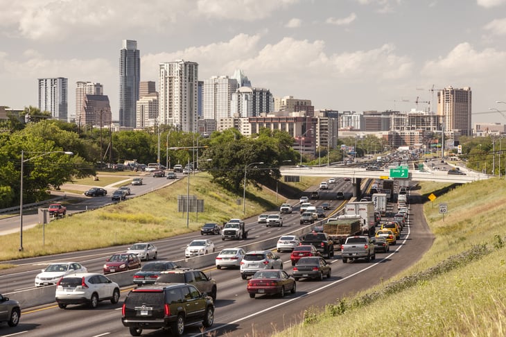
- Urbanization index: 11.17
- Urban land area percentage of total: 3.5%
- Population density (per square mile): 111.0
- Population: 28,995,881

11. Arizona
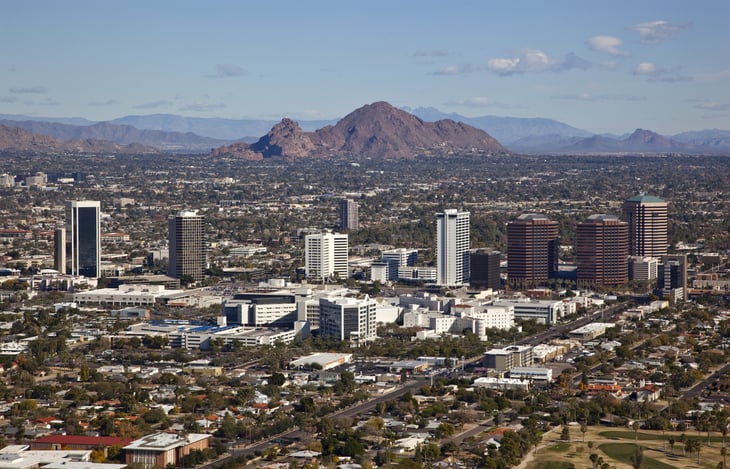
- Urbanization index: 11.30
- Urban land area percentage of total: 2.0%
- Population density (per square mile): 64.1
- Population: 7,278,717
10. Connecticut

- Urbanization index: 11.41
- Urban land area percentage of total: 38.0%
- Population density (per square mile): 736.3
- Population: 3,565,287
9. Florida

- Urbanization index: 11.46
- Urban land area percentage of total: 14.3%
- Population density (per square mile): 400.5
- Population: 21,477,737
8. Illinois
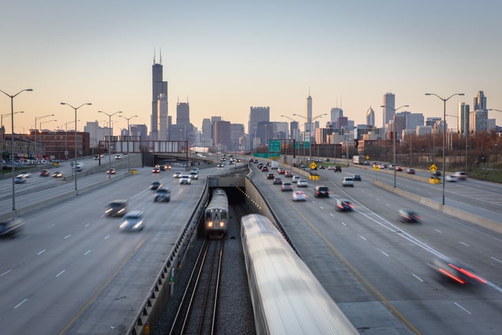
- Urbanization index: 11.62
- Urban land area percentage of total: 7.2%
- Population density (per square mile): 228.2
- Population: 12,671,821
7. Maryland
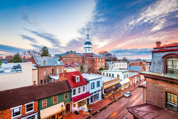
- Urbanization index: 11.71
- Urban land area percentage of total: 21.1%
- Population density (per square mile): 622.8
- Population: 6,045,680
6. Rhode Island
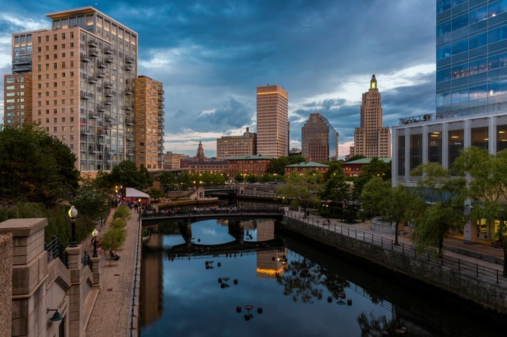
- Urbanization index: 11.72
- Urban land area percentage of total: 39.0%
- Population density (per square mile): 1,024.5
- Population: 1,059,361
5. Nevada
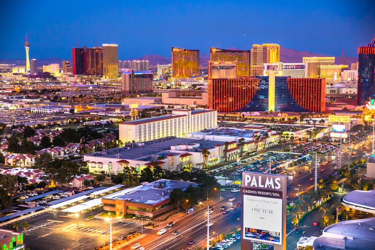
- Urbanization index: 11.77
- Urban land area percentage of total: 0.7%
- Population density (per square mile): 28.1
- Population: 3,080,156
4. Massachusetts
- Urbanization index: 11.84
- Urban land area percentage of total: 38.8%
- Population density (per square mile): 883.7
- Population: 6,892,503
3. California
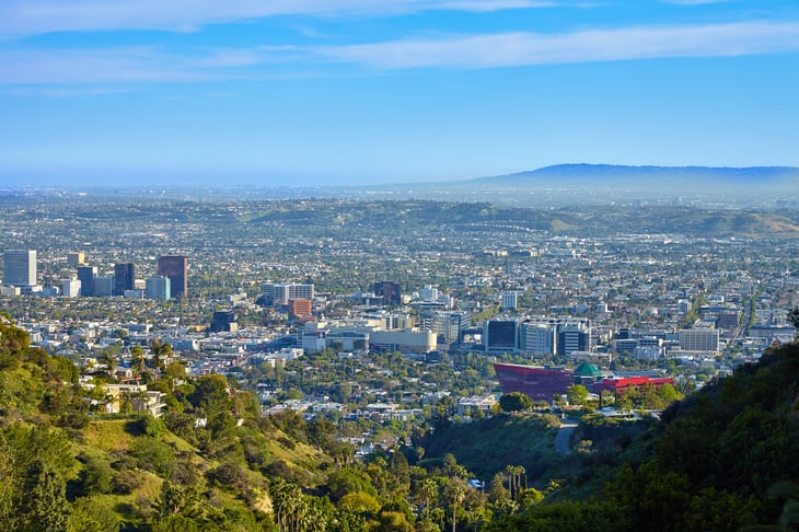
- Urbanization index: 12.19
- Urban land area percentage of total: 5.3%
- Population density (per square mile): 253.6
- Population: 39,512,223
2. New Jersey

- Urbanization index: 12.24
- Urban land area percentage of total: 40.1%
- Population density (per square mile): 1,207.8
- Population: 8,882,190
1. New York
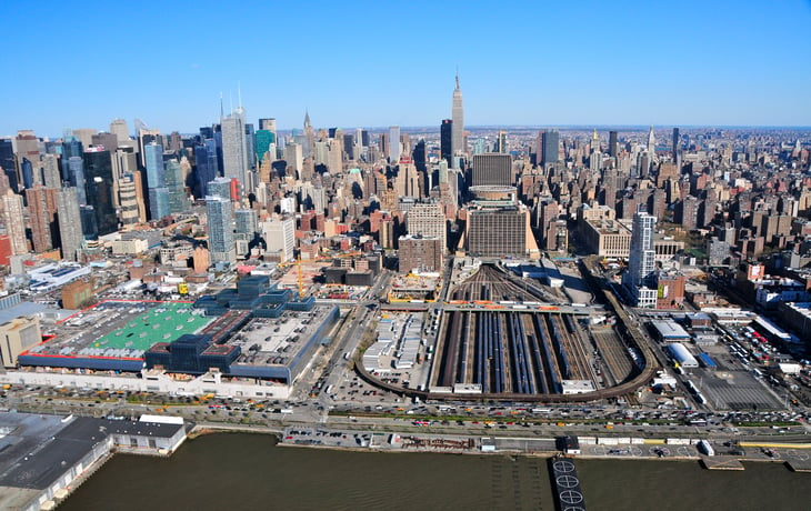
- Urbanization index: 12.56
- Urban land area percentage of total: 8.7%
- Population density (per square mile): 412.8
- Population: 19,453,561

Detailed Findings & Methodology

When looking at the distribution and density of populations, the most urbanized states in the country are New York, New Jersey, and California. But among the most urbanized states, urban land area as a percentage of total as well as population density vary significantly.
In general, urban land area and population density are tightly coupled (states in which urban areas make up a larger percentage of total have higher population densities), but neither metric is well correlated with the urbanization index. In practice, a state can have a highly urbanized population, but also contain large rural areas and a relatively low overall population density (e.g., Nevada). At the same time, states like New Jersey, Massachusetts, and Rhode Island also have highly urbanized populations, but don’t have as much rural land. As a result, all three also have high overall population densities.
Wyoming and Montana are the least urbanized states, with urbanization indexes under 8.5. Both of these states have just 0.2% of their land covered by urban areas and overall population densities of less than 10 people per square mile.
To find the most urbanized states, researchers at Porch analyzed the latest data from FiveThirtyEight, the U.S. Department of Agriculture, and the U.S. Census Bureau. The researchers ranked states according to FiveThirtyEight’s urbanization index, which is calculated from the average number of people living within a five-mile radius of each census tract. From the USDA data on land uses and the U.S. Census Bureau population data, researchers also calculated the urban land area percentage of total and the population density (per square mile) for each state.
Add a Comment
Our Policy: We welcome relevant and respectful comments in order to foster healthy and informative discussions. All other comments may be removed. Comments with links are automatically held for moderation.