


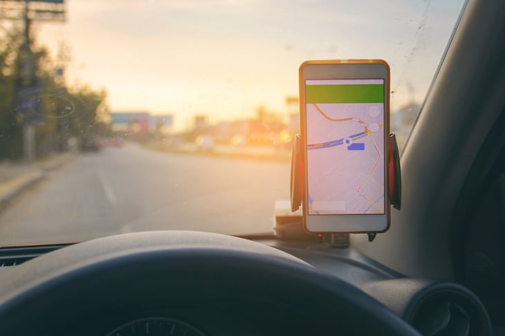
With some 150 million users on Google Maps each month, there’s a good chance that this popular free tool is one of your favorites.
Google Maps displays the quickest route to your destination while offering you alternative routes and arrival times based on current traffic. Huge numbers of drivers use it daily, typing or speaking destinations into the app and following its map routes and turn-by-turn directions.
It’s all pretty impressive, if you think about it.
Map programs are so woven into daily life that we may not give them much thought. Google’s familiar map app, however, has more useful functions than you may realize.
What follows are several ways Google Maps may surprise you and help make your life better.
1. Find your parked car

With Google Maps around, there’s no need to wander through a parking lot or garage, worrying you’ve lost your mind. When you leave the car, tell Google Maps to save your parking location so you can find your way back to the car.
You can pin your car’s location on the map or speak your instructions. Tell Google Assistant, for instance: “Say, ‘Hey, Google, I parked here.'” Or something close is good enough. Google explains here how to use the feature, with instructions for Android, iPhone/iPad and computer users.
2. Pay your parking fee from your driver’s seat

Drivers who also use Google Pay can pay a garage or lot fee from the comfort of their car.
Here’s how, according to Google (look down the page for “Pay for parking from Google Maps”):
- Drive to your Parking spot.
- At the bottom, tap “Pay for Parking.”
- After Google Pay opens, you can pay for your parking.
3. Get an alert if you’re speeding
Google Maps’ speedometer feature shows how fast you are traveling. That’s nice, but your car’s dashboard can tell you that.
But here’s where things get interesting: If you have an Android device, turn on Google Maps’ “Speed Limits” alert. The speed indicator shows when you’ve exceeded the top speed allowed by changing color. It’s a nice reminder that helps you stay safe.
4. Compare nearby gas prices

Gas prices inflict financial pain on a daily basis, but at least, using Google Maps, you can see the cheapest gas prices near you when it’s time to fill up.
This Google Maps feature is available on iPhone, iPad, Android or the web (here’s a look at gas prices in Fargo, North Dakota, to give an idea).

To see gas prices, check near the top of your Google Maps app screen for “gas near me” or “Gas.”
Also, use Google Maps’ eco-friendly routing to find the route that will save you most fuel.
5. Request a ride

Want to hail a ride share? You can use Google Maps to find available ride-share vehicles nearby and see what they charge to your destination.
Here’s how in brief: Open Maps to “directions,” and input your location and destination just as you would to find route options. Among transportation options like driving, walking, bicycling and bus, you’ll see the silhouette of a figure hailing a ride. Touch it, and ride share options appear.
Again, Google has the details.
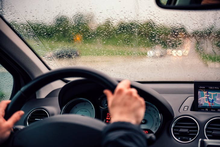
6. Plan your trip

Google urges travelers and commuters to use Maps for planning a route in advance. It’s good advice, given how road closures, construction, heavy traffic, weather and other obstacles can affect a journey.
When you are using Map features you’re not familiar with, give yourself a little time to practice before hitting the road.
With trip planning, the key is the little “Go” tab at the bottom of the Maps screen. To find it, select your device type and then touch “Go” and follow directions to select a route and mode of travel (car, bus, etc.). You can pin a route onto your map so it’s there when you need it again. And you can set a reminder for yourself that alerts you when it’s time to leave.
Commuters, especially, may want to pin an often-used trip so they’ll spot any suggested route issues or changes before they hit the road.
In some cities, you can use your mobile device to plan a complex trip that switches from one mode of transportation to another — say, driving part way and then catching a bus or train.
7. See transit lines and stations
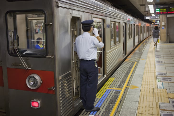
Traveling by bus? Light rail, subway or train? Google Maps may be able to help. To view a city’s transit lines and stations follow these step-by-step instructions.
But not every city has public transit information on Google Maps. Local transit agencies must add their route information to the app.
8. Get train and bus departure times
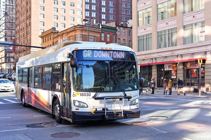
When you get travel directions on Google Maps, you also can look for departure times for trains and buses.
“Some transit stations show real-time departures while others show a schedule of departures,” Google says.
Follow these directions to see departure times.
Add a Comment
Our Policy: We welcome relevant and respectful comments in order to foster healthy and informative discussions. All other comments may be removed. Comments with links are automatically held for moderation.